
Drone Deploy
Drone mapping software. Get interior and exterior visual data – any altitude, any angle, all in one platform.
Your Drone Data Playbook for the Construction Industry
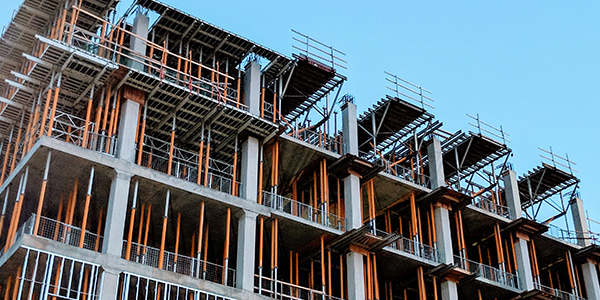
If you look at construction sites across the country, you'll see a colossal amount of assets - from the land that’s being built on - to the equipment - to the teams heading up the project. But there’s one asset that might be less visible, and perhaps even more valuable: drone data. Drones and the insights they generate help construction, aggregates, & mining companies drive innovation, increase efficiency and speed, and reduce costs. In this playbook, we’ll detail how you can leverage drone software throughout every stage of your construction project lifecycle, from pre-bid inspections to post-build maintenance.
Elevate Your Build with Drone Tech
If you look at construction sites across the country, you'll see a colossal amount of assets - from the land that’s being built on - to the equipment - to the teams heading up the project. But there’s one asset that might be less visible, and perhaps even more valuable: drone data. Drones and the insights they generate help construction, aggregates, & mining companies drive innovation, increase efficiency and speed, and reduce costs. In this playbook, we’ll detail how you can leverage drone software throughout every stage of your construction project lifecycle, from pre-bid inspections to post-build maintenance.
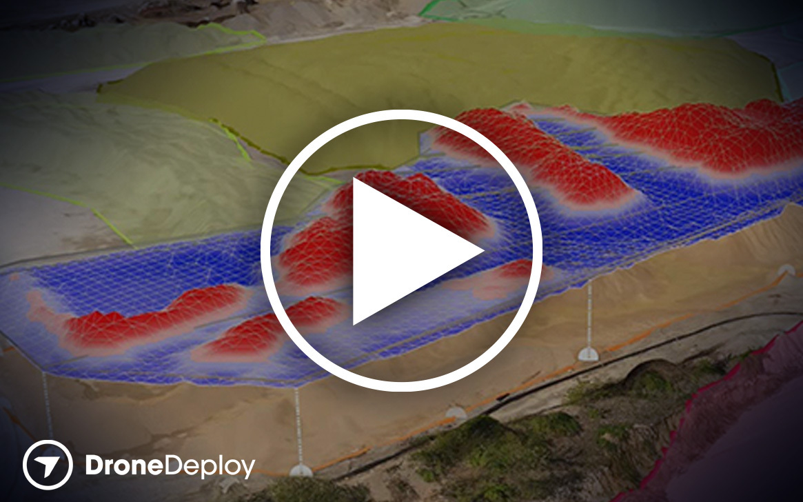
Manage Earthworks with Aerial Insights
Conducting earthworks can be one of the most challenging and costly aspects of any construction project. In an ultra-competitive industry with high equipment costs, elevated risk, and tight margins, the difference between success and failure can be thin - but with drone data, you can improve these odds. Watch as our Solutions Engineering Manager guides you through DroneDeploy’s all-in-one solution for earthworks management in this informative webinar.

Discover How our Mining Client Estimates Stockpiles
Hear from Jaimie Addy, U.S. Land & Resource Supervisor at BURNCO Rocks Ltd., as he describes how he integrates drone technology into his traditional mining workflow. In just one instance, Jaimie was able to use drone data to verify inaccurate stockpile recordings - saving his organization over $200,000. Whether 3D modeling 443,000 ton quarry benches or generating thousands of data points, DroneDeploy has aggregates & mining covered.
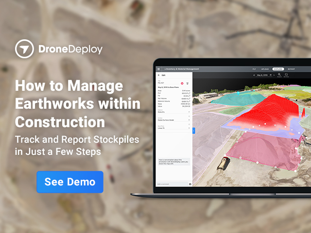
How to Manage Earthworks within Construction
Give your operations an upgrade. Interactive site reality including maps, photos, panoramas, video, and 3D models. Complete site reality for your business. Quickly assess progress, issues, and opportunities across any operation. Working smarter, not harder. Enterprise-grade drone software that automates and centralizes flight, operations, documentation, and compliance.
For more information
Please enter your name and email to learn more.